Green To Grey: How Is Land Take-Up Regulated?
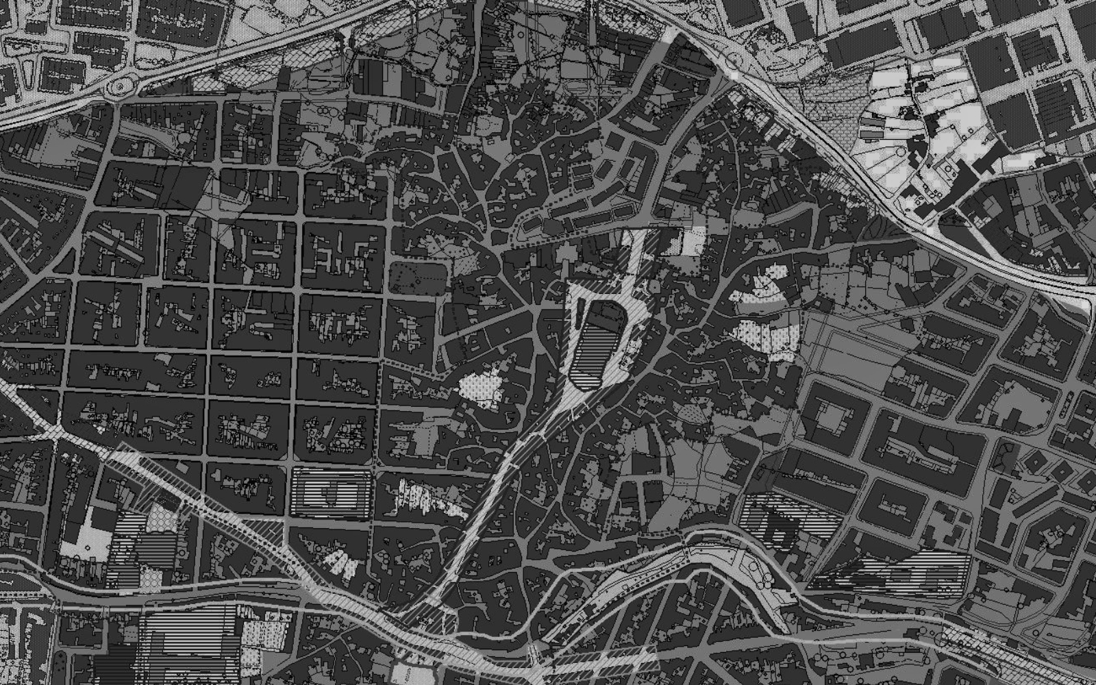
Of the nearly 830,000 square metres of nature and cropland built up in Malta between 2018 and 2023. Going further back, and using figures from the European Environment Agency, Malta lost 920,000 square metres of land to development between 2012 and 2018, and a further 190,000 square metres between 2006 and 2012.
Taken together, the data shows that since 2006, Malta has lost at least 1.94 square kilometres of green land. The largest shift appears to be after 2012, which accounts for 90% of the land lost in the period under review.
According to the European Environment Agency, “the continuous loss of ecosystem functions renders [Europe] increasingly vulnerable when it comes to food self‑sufficiency and natural disasters”, and that going forward, governments should protect the most productive land from development.
A patchwork of strategies and plans governs development that converts natural or agricultural land into built-up areas. Sustainability goals exist in the Development Planning Act and local plans, but regulation, starting from the PN government’s rationalisation exercise in 2006, has allowed limited green spaces on the islands to be developed.
The government, in turn, is one of the largest developers of green land into grey space, contributing at least 112,467 m2 through prominent projects like the Hal Far expansion, Central Link, Addolorata cemetery, and airport runway expansion.
The Development Planning Act
The Development Planning Act includes a non-enforceable declaration that “It shall be the duty of the Government to enhance the quality of life for the benefit of the present and future generations” and “to consider public values, costs, benefits, risks and uncertainties involved when taking any decisions”.
The Act states that “In the pursuance of its functions under this Act, the [Planning] Authority shall, as far as possible, make reference to European Union best practices and standards”. The EU has set a goal of no net land take by 2050, which means no further increase in the share of land converted from natural to artificial surfaces. This means new land can still be built up, but it would need to be compensated by recultivating other built-up land.
The same law also stipulates that “no development shall be carried out except with development permission”. Development is defined as “building, engineering, quarrying, mining or other operations for the construction, demolition or alterations” or the making of any material change in use of land or building and sea, with limited exceptions such as maintenance.
But the Act also opens a pathway to regularise development carried out without permission. A parliamentary question asked in 2023 revealed that over 2,000 illegally built structures were sanctioned between 2013 and then.
Moviment Graffiti and the local council challenged the Qala development mentioned earlier partly on the grounds of its negative impact on agricultural land. The court accepted the challengers’ arguments that agricultural use should be retained, and called the earlier tribunal’s reasoning that other uses, such as recreational pools, are permissible because they are not excluded by policy, “absurd”. For this reason alone, the court upheld the appeal, finding that the development was not permissible and the encroachment into agricultural land should not have been allowed.
A fresh application to sanction two pools in the same development is pending.
In response to Amphora Media’s questions, the developers’ spokesperson said that “the land in question was already scheduled for development. The choice was therefore not between development and leaving the site in its natural state, but between one comprehensive, coordinated development and the possibility of approximately 40 individual plots being developed separately by different owners over time. We are very proud of the resulting development.”
The spokesperson added that “the relevant fines are being contested and we are currently pursuing the applicable sanctioning process” and that the developers “do not accept the characterisation that [the pools] were simply “illegally developed”, particularly while […] comparable pool developments on ODZ land have been permitted or sanctioned elsewhere in Malta and Gozo.”
Strategies, policies and plans
The entire territory of Malta is to be developed according to a Spatial Strategy. Local plans are adopted to manage development where that strategy is not enough.
In the early 90s through 2006, the government adopted policies and plans to regulate development in rural settlements outside the development zone (ODZ). The Rural Policy and Design Guidance, adopted in 2014, explicitly allowed expansion of buildings and introduction of enterprises in rural areas. The policy conflicted with adopted local plans, and in 2024, the government began revising the plans to avoid such conflicts.
The guiding principles in plans and strategies are written to safeguard localities from encroachment by construction. For example, the 2006 Gozo and Comino Local Plan stipulates that the overall strategy on these two islands encourages development that “improves the quality of life and the environment”, “is compatible with surrounding activities”, and “does not constitute over-development”.
“The extensive rural areas in Gozo and Comino require protection measures, and this is achieved by restraining further urban expansion, by protecting areas of conservation value and by designating strategic open space gaps between existing settlements,” the plan continues.
As developments such as structures in Qala, which build over such open space gaps, suggest, expansions of built-up areas are approved anyway.
Adopted in 2015, the Strategic Plan for the Environment and Development (SPED) allows “social and community facilities” for education, health, and care for elderly people, among others, to be located in rural areas where “no feasible alternatives exist” in urban areas.
The Planning Reforms
In 2020, the government changed the fuel stations policy, capping their total number and effectively banning new fuel stations on agricultural land. Extensions of fuel stations outside development zones are no longer permitted.
Earlier in July, the government announced a planning reform by which, when a development permit is subject to appeal, works must be suspended for the appeal’s duration rather than being allowed to continue or even be completed while the appeal is pending. The reform also introduces time limits for considering appeals: a tribunal must convene within 30 days of works being suspended and take no more than six months to reach a decision. Critics have pointed out loopholes in the reform.
Unveiling the reform, planning minister Jonathan Attard said it was proof that “the political commitments we have made to the people are being turned into concrete action, by placing quality of life, public trust and the rule of law at the heart of the planning system.”
The pattern is not one of missing rules, but of rules with built-in exits. The Development Planning Act’s duty to protect quality of life is declaratory and cannot be enforced against the Authority. SPED permits community facilities on rural land where no urban alternative is judged feasible. The Rural Policy and Design Guidance allowed rural buildings to expand in conflict with local plans, until the plans were revised to match. And where building happens without permission, the Act provides a route to regularise it: more than 2,000 illegal structures were sanctioned between 2013 and 2023.Of the 1.94 square kilometres lost since 2006, 90% went after 2012.
More to read
-
-
Environmental

Green to Grey: When Development Creeps Up On Agricultural Land
-
-
Environmental

Infrastructure, Commercial Complexes, Cemetery: Satellite Data Reveals Malta’s Largest Green-to-Grey Areas
-
-
Environmental
Green To Grey: Malta Lost Over 830,000 Square Metres Of Land To Development In Five Years
-
-
Environmental
Profit In Every Drop: The Companies Pumping Malta’s Groundwater For Free
-
-
Crime & Legal Affairs
Listen: The Trial Against Yorgen Fenech – A Podcast By Amphora Media
-
-
Politics
Open Malta: A New Political Data Transparency Platform By Amphora Media
-
-
Environmental
227 Million Litres For Free: Polidano Companies Top Malta’s Groundwater Users